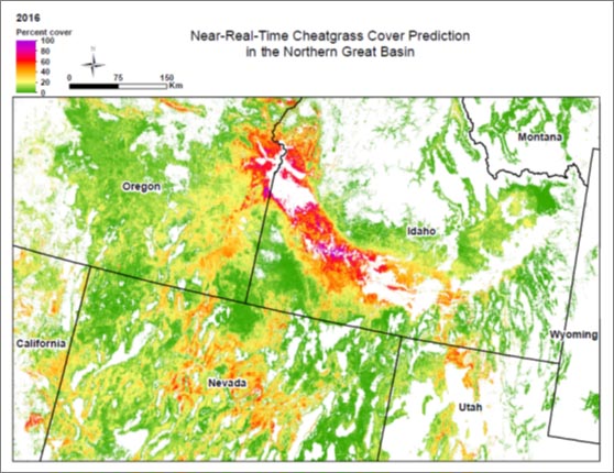
The Problem: Annual Grasses
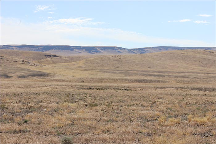
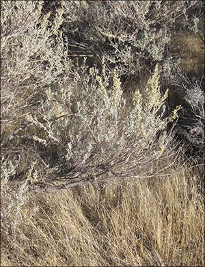
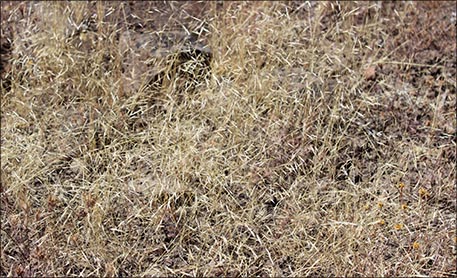
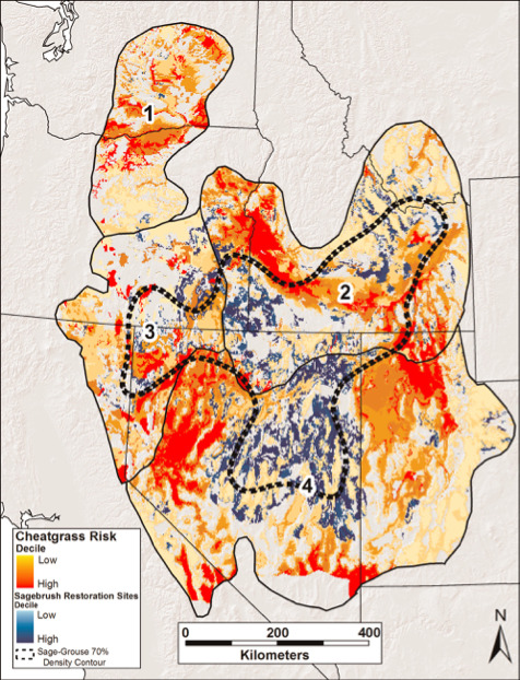
Across the Great Basin, invasion of annual grasses, especially cheatgrass (Bromus tectorum), is altering natural fire regimes and converting large expanses of the sagebrush sea to an ocean of non-native annual grass. The combination of large scale wildfire and exotic annual grasses poses a formidable threat to sage-grouse and their habitats. This topic guides you through understanding the problem and science behind invasive grasses as well as management tools you can use to help fight this invasion.
Watch the video below for an introduction to the problem casued by the non-native, invasive cheat grass by Dr. Brian Mealor from the University of Wyoming.